Archive for Aerial Surveying

What Is Urban Sprawl and How Do We Manage It?

What Is Urban Sprawl and How Do We Manage It?

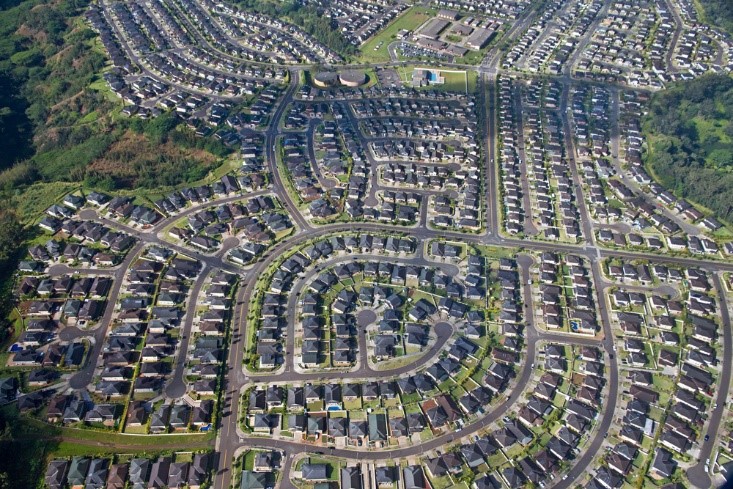
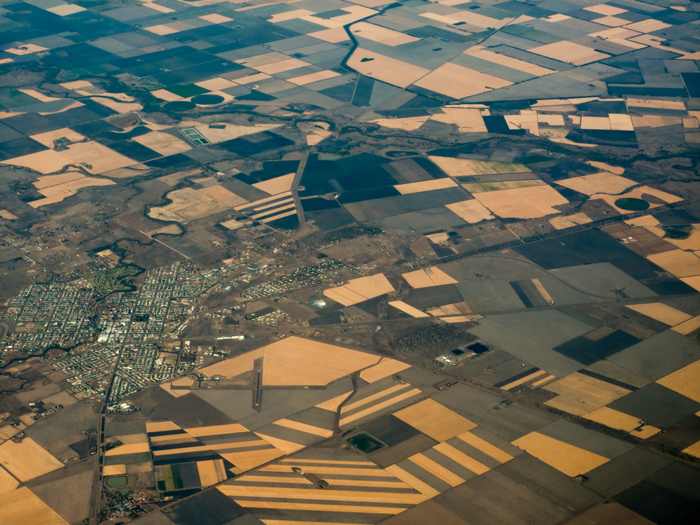
What Is Urban Sprawl and How Do We Manage It? Australia is a huge country with a very small population in comparison to its size, with the majority of people residing in large cities along the coastline, mostly along the southern areas of the Eastern…

Continue reading →

How New Technology Is Changing Surveying

How New Technology Is Changing Surveying

How New Technology Is Changing Surveying Surveying has existed for as long as land has been bought, sold, claimed or fought over. Approaches have advanced from using feet to lengths of premeasured chains to steel tape measures, which were still being used as little as…

Continue reading →

What Kind of Survey Do I Need?

What Kind of Survey Do I Need?

What Kind of Survey Do I Need? There are variety of different surveys you can get depending on the needs of your project. Below we’ll explore some of the surveying services offered in Queensland by ADC and what they are used for. Aerial Surveying Aerial…

Continue reading →

What Is the Pocket Zoner Pro App?

What Is the Pocket Zoner Pro App?

What Is the Pocket Zoner Pro App? Designed by town planner and developer Michael Arnold, lead principal at Arnold Development Consultants, the Pocket Zoner Pro app places Queensland land zoning and land use information conveniently in the hands of the user. This allows you to…

Continue reading →

Aerial Mapping vs. Aerial Surveying – What’s the Difference?

Aerial Mapping vs. Aerial Surveying – What’s the Difference?

Aerial Mapping vs. Aerial Surveying – What’s the Difference? Assessing sites using unmanned aerial vehicles (UAVs), more commonly known as drones, is becoming increasingly popular due to its efficiency, accuracy and cost-effectiveness. UAVs are capable of obtaining accurate, up-to-date data and offering a number of…

Continue reading →

The Power of Aerial Surveying with Drones

The Power of Aerial Surveying with Drones

The Power of Aerial Surveying with Drones When it comes to carrying out surveys, accuracy and usability are essential. Clients need to know the survey they receive will be a reliable basis for designing, planning or assessing a site. Using unmanned aerial vehicles (UAVs), more…

Continue reading →

WRITE YOUR REVIEW
  • This field is for validation purposes and should be left unchanged.
1