How New Technology Is Changing Surveying

Surveying has existed for as long as land has been bought, sold, claimed or fought over. Approaches have advanced from using feet to lengths of premeasured chains to steel tape measures, which were still being used as little as 30 years ago. Like almost every industry, surveying has transformed over the past couple of decades thanks to rapidly evolving technology.
What was once a long, costly and arduous task can now be completed in a fraction of the time it once took thanks to innovations like global positioning systems (GPS) and unmanned aerial vehicles (UAVs), more commonly known as drones. These represent the two most significant examples out of a series of innovations that have transformed surveying.
Electronic Distance Measuring Tools
The theodolite is a tool that measures horizontal and vertical angles and has been used since the 16th century for surveying. The electronic distance measuring tool (EDM) simplified this process drastically when it came into use in the latter half of the 20th century. An EDM tool pinpoints distance much more accurately than a theodolite and is highly useful for engineering and construction projects.
This method of measurement is accurate down to the quarter inch and saves time as results don’t need to be recorded on site. EDM tools are especially handy in busy, high traffic areas because it doesn’t require a second person to be on the receiving end of the signal.
How GPS Has Impacted Surveying
GPS has catapulted the speed and accuracy of surveying beyond any other invention of previous tools or measuring systems. Using a satellite to pinpoint the location of objects on the ground facilitates a whole new level of accuracy because line of sight is no longer necessary for accurate measuring. It has reduced the time it takes to complete a job to as little as tenth.
You no longer need to climb to the highest points of an area’s landscape or measure short distances at a time due to obstacles like trees or hills. All you need is a clear view of the sky. You can also measure and map underwater areas and create highly accurate, 3D topographic maps by combining GPS technology with sonar. This is useful for navigational purposes as well as for engineering and construction.
Aerial Surveying
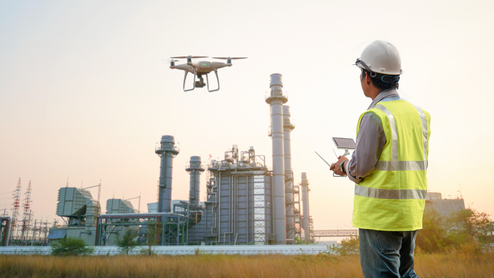
Aerial surveying is more accessible than ever thanks to UAVs. What was once very expensive and required aircrafts to complete can now be done quickly and cost-effectively with a small team. Projects are often planned, flown and processed in as little as a 24-hr period.
UAVs can speed over treetops and other challenging terrain, collecting high quality data efficiently. This data can be processed into a Digital Elevation Model (DEM), providing a digital representation of ground surface topography including every tree, structure and object. This is handy for mapping and the calculation of earthworks and stockpile volumes.
Contact Arnolds for Land Surveying Services
Arnold Development Consultant’s expert engineering surveyors have a wealth of experience at the most demanding levels. If you’d like aerial surveying services or any other services related to land surveying or town planning, please contact your local Arnolds regional office in Brisbane, Townsville, Rockhampton, or the Gold Coast.


